Unraveling the Importance of Geospatial Information for Sustainable Development in Indonesia

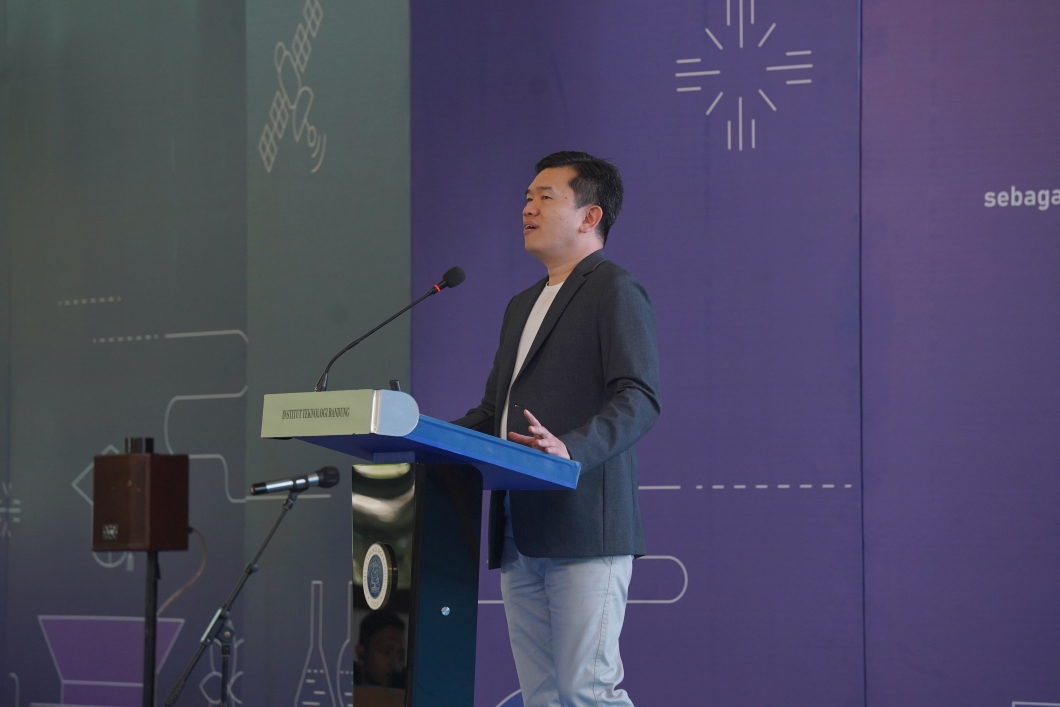
BANDUNG, itb.ac.id – Institut Teknologi Bandung (ITB) held Studium Generale KU-4078 on Wednesday (29/1/2020) at Aula Barat ITB, Jalan Ganesa No. 10, Bandung. The theme for this Studium Generale was titled “Utilization of Geospatial Information for Sustainable Development in Indonesia” and featured the Head of Indonesia’s Geospatial Information Agency, Prof. Dr. Ir. Hasanuddin Z. Abidin, M.Sc., as the speaker for the event.
At the beginning, Prof. Hasanudin gave an explanation on the importance of data, especially geospatial data. “Our President himself had said that data is an asset. It is an asset of the government and a very important one that belongs to the nation” he said, while adding the fact that whoever owns data will be able to rule the world. He added that nowadays, geospatial data has a very important role for the sustainable development process of a nation. He also explained the definition of the geospatial information itself, which is a type of information comprised of elements for showing the location of an object, its shape, and the attributes of the object.
Prof. Hasanuddin gave an example of its utilization by mentioning the usage of Geospatial Information for the Mapping of Natural Resources Balance. One of the mappings done using Geospatial Information is the mapping of rice fields area across Indonesia, which is very important and beneficial. The data obtained from this activity will affect the State Budget used to subsidize fertilizers, farm tools, seeds, and many others. The data will also serve as a reference in deciding import and export regulations.
According to Prof. Hasanuddin, the Geospatial Information Agency had done the Mapping of Natural Resources Balance for various commodities, such as rice and palm oil. A plan for mapping other commodities such as corn had also been established. He hoped that students from higher education institutions would have a deeper understanding and the ability to do further research or analysis with the available geospatial data. “The data are available to students who need the data for research purposes data and can be obtained free of charge at the Geospatial Information Agency” he said. Moreover, he also gave a brief explanation about the “one map” regulation in Indonesia, in which he hoped that every existing data can be visualized spatially and mutually integrated with each other on every element that exists.
Reporter: Irfan Ibrahim
Translator: Verdyllan Augusta
Translator: Verdyllan Augusta

scan for download