National Seminar Geopoint 2024: Introducing Geodesy to the Public

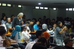
BANDUNG, itb.ac.id – Institut Teknologi Bandung Geodesy Student Association (IMG-ITB) hosted the 2024 Geopoint National Seminar with the title of “Geospatial Innovation in Entrepreneurship: a Key to Achieving Golden Indonesia 2045,” at the VI Floor Auditorium, Freeport Building, ITB, on Saturday (17/2/2024).
Geopoint is an annual event organized by IMG-ITB which aims to introduce geodesy to the public whilst highlighting its benefits. This national seminar serves as the peak event from the various Geopoint ITB activities, including Community Geodesy (GEMAS) which focuses on community service in Lembang, Geopoint Goes to School (GGTS), and the Geospatial Challenge, a scientific writing competition open to students all over Indonesia.
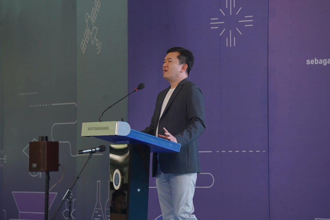
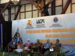
The seminar featured four speakers representing different business sectors and was moderated by Dr. Andri Hernandi, S.T., M.T., a lecturer in Geodetic and Geomatics Engineering at ITB.
The first speaker was Dirga Sumantri, CEO of Braga Technologies, the first geographic information system (GIS) software company in Indonesia. He presented material on "Future Horizon: the Role of Geospatial Agents in Shaping Indonesia 2045." where he discussed the significant role of geospatial information in both individual daily lives and the country’s development, along with the vast opportunities available to geospatial agents related to entrepreneurship.
The next speaker was Andi Wicaksono, the SEA Crowdsourcing and Community Lead from HERE Technologies company. He presented material focusing on mapping and location, highlighting how these elements can be combined and serve as connecting assets for every feature on Earth.
The third speaker is Gilang Widya Wicaksana, the Country Head of Business Development at Leica Geosystem. The company specializes in making technologies and spatial survey systems. In his presentation titled “Survey and Digital Twin Technologies to Foster a More Sustainable Business”, Gilang mentioned the extent to which geospatial data plays a role in various development aspects, especially in the role of digital twins which are currently widely implemented.
The last speaker was Dirgantoro Tarmidzi, CMS-Sen or Business Development at ESRI Indonesia. He delivered about the geospatial technology business’ role in various government and private institutions, as well as the extensive analysis capabilities offered by this technology.
After the seminar ended, the event was followed by the announcement of the winners of the LKTI Geospatial Challenge 2024. Third place was secured by a team from ITB, second place by a team from the University of Indonesia, and first place by a team of students from the University of Jember.
Reporter: Putri Nur Azizah (Geodesy and Geomatics Engineering, 2021)
Translator: Sherina Wijaya (Geological Engineering, 2019)
Editor: Hanna Daniela Ayu (Aerospace Engineering, 2021)

scan for download