ITB Community Service Team Guided Batukaras Village in Completing UNESCO’s Indicators of Tsunami Preparation

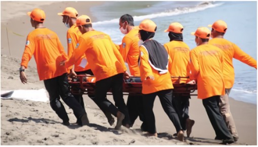
BANDUNG, itb.ac.id –Natural disasters are an ongoing issue in Indonesia. The tsunami is one of them; it hit Aceh in 2004 and South Java in 2006.
In 2006 particularly, the tsunami destroyed several regions including Pangandaran. With the hope that such an incident does not repeat again in the future, many residents, especially those near the sea, must be Tsunami Ready to anticipate future disasters.
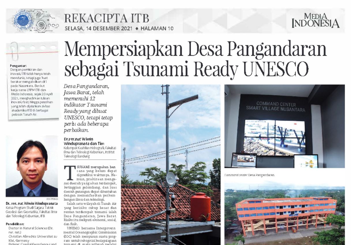
Last year, the ITB LPPM community service team led by Dr. rer. Nat Wiwin Windupranata aided Batukaras Village at Pangandaran Regency to be recognized as a Tsunami Ready Village by UNESCO in March-July. To achieve this status, twelve indicators must be met by the village.
1. Communities nearby must own maps showing the hazard zones of tsunamis to determine areas prone to it
2. The public must have information on the estimated number of people who are in the danger zones of tsunami
3. Public information about the tsunami is announced in the area
4. Communities own inventories of economic, infrastructure, political, and social resources to reduce the risk of tsunami impact
5. Communities own comprehensive evacuation maps that are made by both communities and authorities
6. Communities educate one another on preparing for a tsunami
7. Education on tsunami preparation is organized at least 3 times a year
8. Communities conduct training on tsunami events at least once every two years
9. Communities have a tsunami emergency operation plan
10. Communities have the capacity to support the implementation of tsunami emergency response
11. Communities have the ability to receive early warnings at all times
12. Communities have the ability to deliver early warnings to the public at all times
"Most of UNESCO's Tsunami Ready indicators have been met by Batukaras Village," Wiwin said, as quoted in the ITB Rekacipta rubric of Media Indonesia on 11 April 2023.
Out of the twelve indicators mentioned, eight indicators have been fulfilled by Batukaras Village. Three indicators- 3, 11, and 12- still have room for improvement.
The third indicator needs more planning due to the rapidly changing conditions of observation spots on the site. On another note, both the eleventh and twelfth indicators are too dependent on the internet; they may not be accomplished as the network may stop working during a tsunami.
Only one indicator that has not been met, namely the fifth indicator. Batukaras Village does not have an evacuation route map yet that is easily understood by nearby communities. "The tsunami evacuation map is one of the many efforts made to reduce the risk of tsunami," Wiwin added.
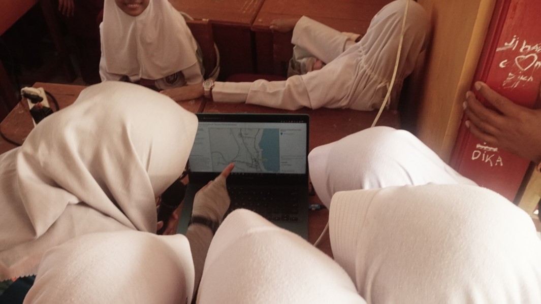
To achieve this indicator, the team created a map filled with tsunami evacuation routes. They also perform a validation test by surveying the evacuation sites. The survey revealed the final locations to consist of five starting points, five TES (temporary evacuation sites) as evacuation endpoints, and two evacuation methods.
The Head of Batukaras Village, Hadi Somantri, hoped that the village can get the recognition as a Tsunami Ready village like Pangandaran Village and Panggarangan Village, which previously succeeded to earn one.
*This article has been published in the Rekacipta rubric of ITB Media Indonesia. The full article can be read on the https://pengabdian.lppm.itb.ac.id page
Reporter: Kevin Agriva Ginting, (Geodesy and Geomatics Engineering, 2020)
Translator: Ruth Nathania (Environmental Engineering, 2019)

scan for download