Discussing Earthquakes in Indonesia with Dr. Irwan Meilano

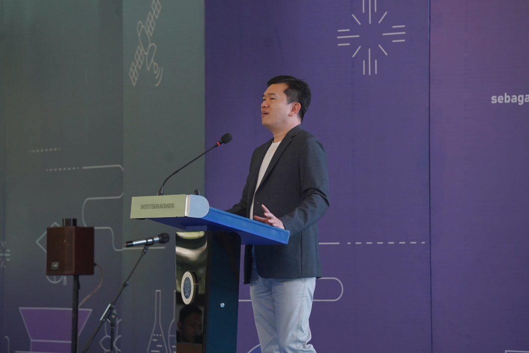
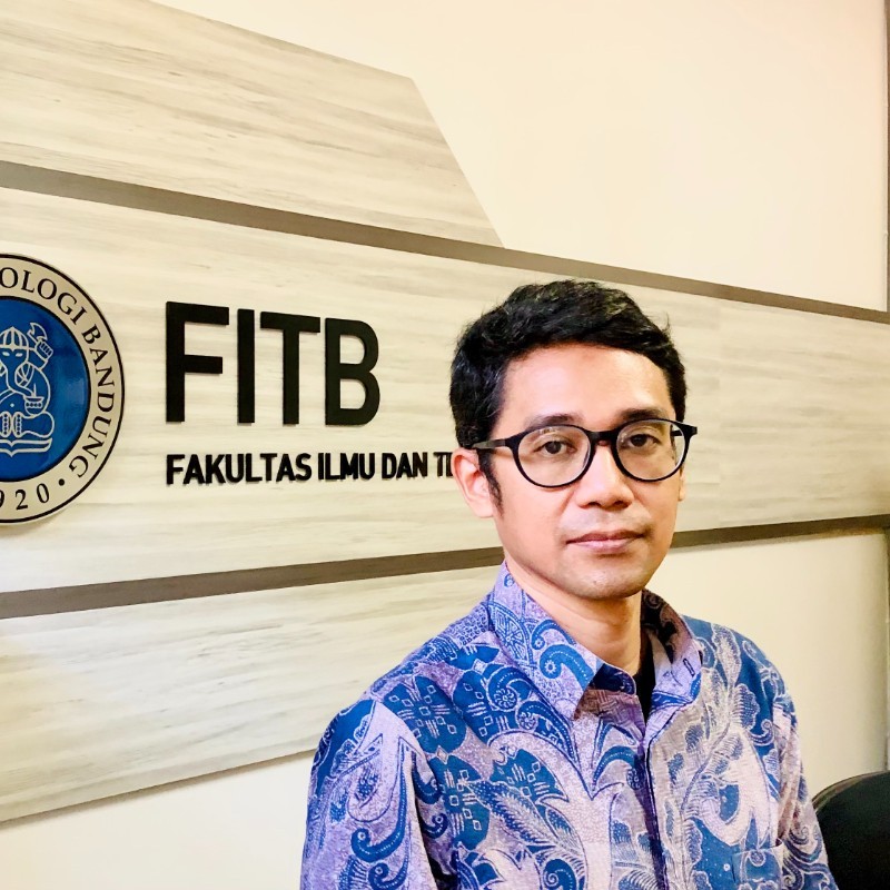
BANDUNG, itb.ac.id – Faculty of Earth Sciences and Technology (FITB) ITB is now here to share stories with the public through a podcast series. This series will discuss the earth sciences and technology in Indonesia. Its first episode was entitled “Discussion Regarding the Earthquake” with Dr. Irwan Meilano, S.T., M.Sc., the Dean of FITB ITB, as the speaker.
The podcast, which was uploaded on FITB’s Youtube Channel, began with the conversation about the earthquake that happened in Malang and it surroundings on Saturday (12/04/2021). According to reports, the 6.1 magnitude earthquake was felt as far as Yogyakarta. This phenomenon, according to Dr. Irwan, can be scientifically confirmed.
“It hit at a depth of 80 km so it was felt over a larger region compared to a shallow-centered earthquake. However, the question remains of how an earthquake with a damage intensity of 5 could massively destroy public buildings such as schools and hospitals,” he said.
To answer it, he explained that there are two possibilities, either the earthquake intensity was actually greater, or the building construction in Indonesia was not strong enough to withstand the earthquake. This needs to be investigated further.
Is there a risk of tsunami as a result of the earthquake? According to Dr. Irwan, predicting whether or not an earthquake will trigger a tsunami is relatively simple using the current seismic observation network. However, Indonesia is dealing with a short-range earthquake. As a result, disasters like the earthquake in Palu occurred before the order for early evacuation was received.
“This should be evaluated because, while Indonesia is good at detecting earthquakes and sea level rise, disaster mechanisms are not yet at the same level," he added.
Dr. Irwan also explained that researchers in the field of earth sciences have created the Indonesia Seismic Hazard Map, also known as the Earthquake Potential Map in Indonesia, as a contribution to the disaster mechanism. This map can explain which parts of Indonesia are at risk of earthquakes. It also acts as the basis for a scientific understanding on why earthquakes of such magnitude and depth in Malang can be felt in other regions.
He hopes that the map will be further improved so that it can clarify not only the risk of earthquakes, but also the risk of damage and losses. Of course, multidisciplinary collaboration is needed to make this happen.
It is expected that the disaster mechanism in Indonesia will continue to strengthen with the ongoing growth of multidisciplinary collaboration. For example, establishing a disaster mechanism post by the local community so that the delivery of information can be well conveyed, shifting people's perceptions of disaster risk to be more alert and responsive, and creating disaster risk maps.
Reporter: Nabilla Putri M (SAPPK, 2020)
Translator: Sekar Dianwidi Bisowarno (Bioengineering, 2019)

scan for download