ITB Held Integrated Studies on Volcanoes in Indonesia

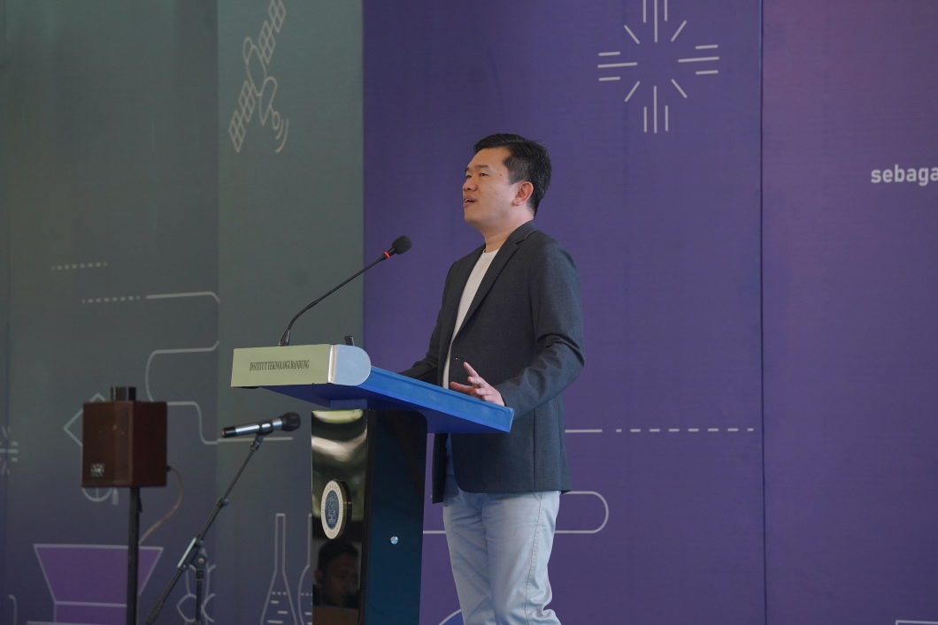
BANDUNG, itb.ac.id – Institut Teknologi Bandung held an academic workshop titled “Integrated Studies on Volcanoes in Indonesia” at ITB’s East CC Auditorium on Thursday (29/8). Rising volcanic and earthquake activities in August is the main reason to hold the workshop organized by Faculty of Mining and Petroleum Engineering (FTTM) and Faculty of Earth Sciences and Technology (FITB).
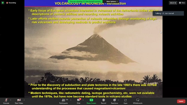
The workshop presented several resource persons across professions and expertise such as ITB’s professor in Geophysics, Prof. Sri Widiyantoro. On “Integrated Studies of Volcano Activity in Indonesia”, Sri Widiyantoro discussed about his research progress on the activity and magmatic structure of Mount Agung and Mount Batur in Bali. This joint research with PEER USAID (Partnerships for Enhanced Engagement in Research) aims to raise awareness of surrounding community by using early detection of volcanic activities. Widiyantoro hopes the research can be publicized soon and the project will continue to run.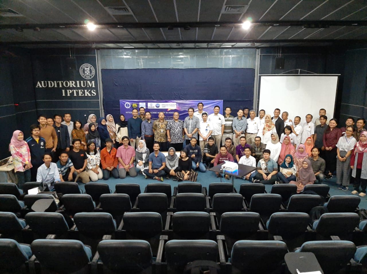
On “Overview of Volcano Monitoring and Recent Volcanic Activity in Indonesia”, Head of Volcano Mitigation, Hendra Gunawan also deliver his materials. Hendra explained that in Indonesia there are many type A volcanoes, the ones which have experienced magmatic eruption at least once after 1600.
“Currently there are 127 active volcanoes in all over Indonesia and many people live around type A volcanoes. For example, in Mount Karangsetang, the most dangerous volcano in Indonesia, settlements are situated only 2.5 km away while the magma reach are 1.7 km. Without early warning, it would be difficult to evacuate the residents,” he said.
“Since the earthquake that occurred on last August, Institute of Geology makes a new SOP, stating that all information should be disseminated over smartphone to make it faster,” said Hendra. The importance of information dissemination about disaster has pushed Institute of Geology and ESDM to launch Magma Indonesia, a website to monitor national volcanic activities. The website is accessible by the people and directly linked by satelite.
However, from 68 volcano locations, only 32 are monitored by satellite. Hendra hopes that in the future, researchers and government can cooperate in information dissemination so that disaster prevention can be done more optimally.
Reporter: Georgiana Maria (Interior Design 2017)
scan for download