Strengthening Cooperation in Geospatial, ITB and Geospatial Information Agency Sign MoU
By Ahmad Fadil
Editor Ahmad Fadil

BANDUNG, itb.ac.id – Institut Teknologi Bandung (ITB) and Geospatial Information Agency (BIG) strengthen cooperation in utilization of science and technology regarding geospatial information. The cooperation was marked with MoU signing between Rector of ITB, Prof. Kadarsah Suryadi and Head of BIG, Prof. Hasanuddin Z Abidin at Executive Meeting Room A, ITB Rector Building, Jalan Tamansari, Bandung, on Friday (6/6/2018).
Prof. Hasanuddin who is also a professor at ITB said on his remarks that the cooperation is extension of previous cooperation. The cooperation has been tied since BIG still used the name Bakosurtanal, and involves many researchers from Geodesy, Planology, Oceanography, Informatics, and both basic and thematic Geospatial research groups. Utilization of data and IPTEK (Science and Technology) have been conducted to support students or research groups to finish their researches, Prof. Hasanuddin said.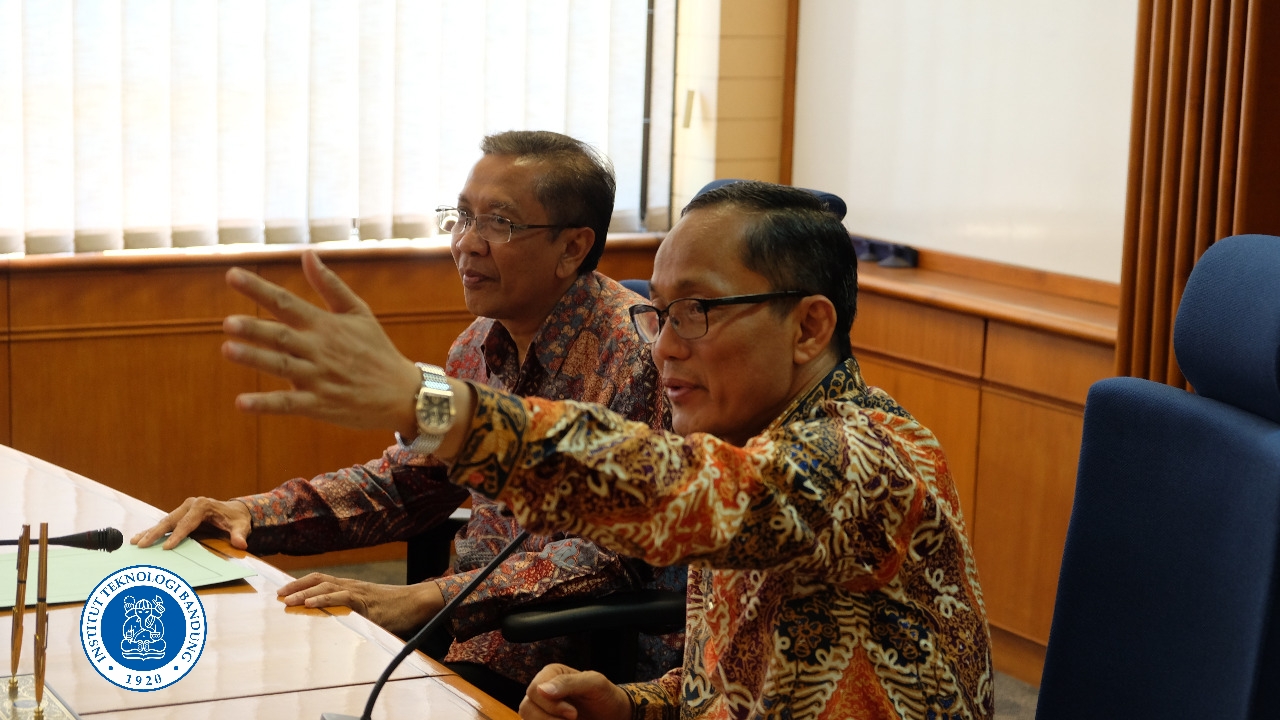
Moreover, he said that the government is currently counting the needs of rice production in Indonesia, hence urgent things to do right now is verification of rice fields area. “Rice fields area are obtained from mapping to know the quantity for export and import, including fertilizer subsidy etc.,” he said.
Rector of ITB on this occasion expressed his sincere thanks for the trust on ITB. “We are ready to cooperate with BIG for the interest of our people and nation. Data is important for our researches in ITB,” Said Kadarsah.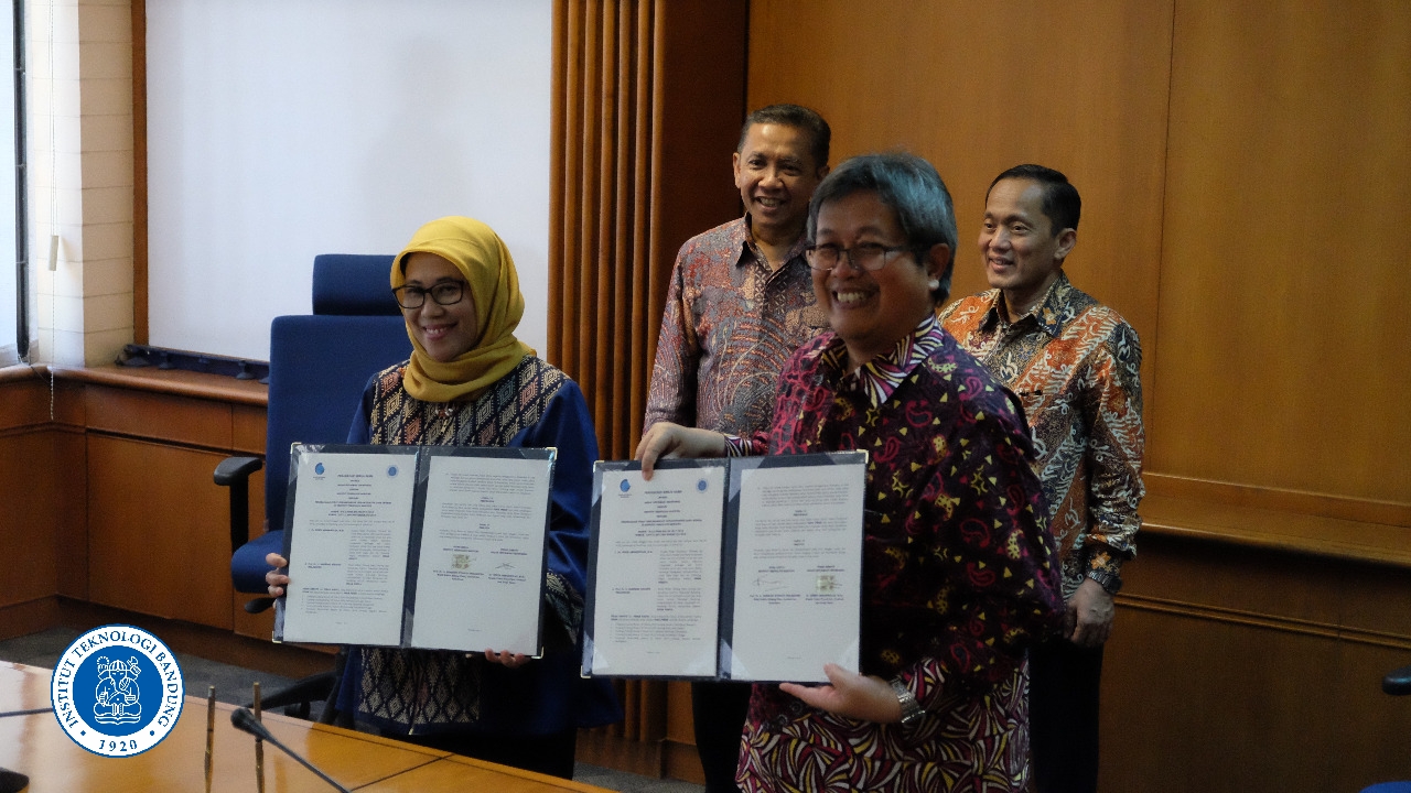
From ITB, present executives were Vice Rector of Research, Innovation, and Partnership (WRRIM), Prof. Bambang Riyanto, Vice Rector of Finance, Planning, and Development (WRURK), Prof. Wawan Gunawan A. Kadir, Director for Public Relations ad Alumni, Dr. Samitha Dewi Djajanti, and several lecturers from ITB’s research groups, such as Mipi Ananta Kusuma.
Head of Center of Research, Promotion, and Partnership of BIG, Wiwin Ambarwulan who also signed the cooperation agreement with WRRIM ITB, said after the signing that the signing is expected to strengthen the long-partnership between ITB and BIG, especially regarding Center for Infrastructure Development of Spatial Data (PPIDS). “The implementation of this MoU is the cooperation agreement regarding PPIDS. The cooperation is conducted with almost all higher educations. It means cooperation is conducted in each province with one university, one of them is with ITB,” he said.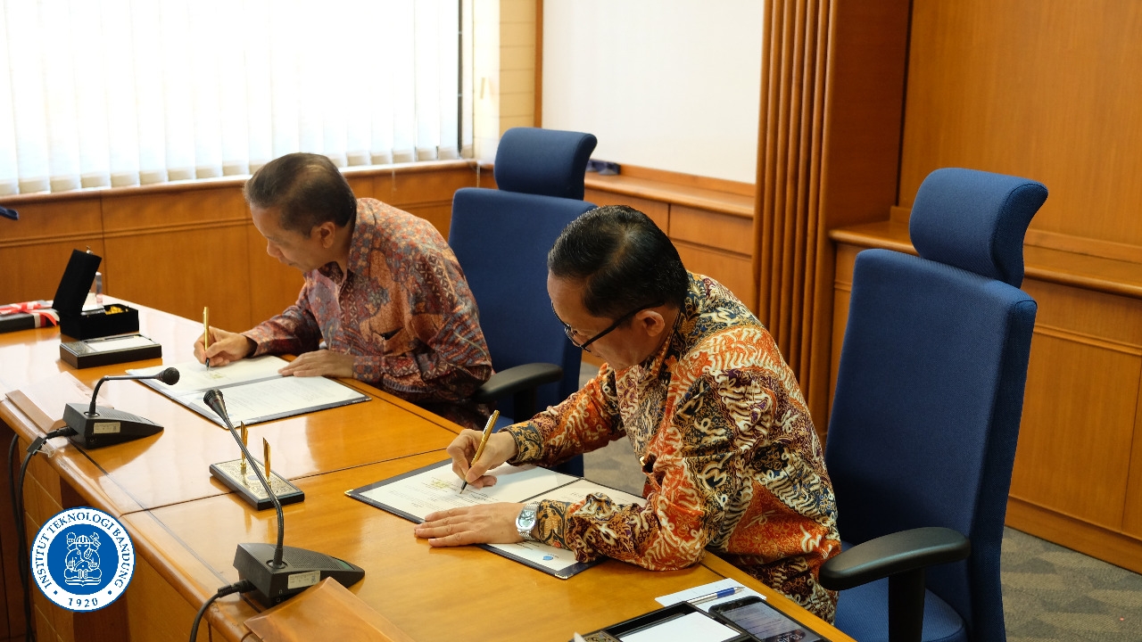
He said that, PPIDS will support BIG in providing geospatial information. Higher educations have many highly capable lecturers that can provide information, hence geospatial information could be obtained directly from PPIDS and not necessarily from BIG. “For example in spatial arrangement, they can coordinate with PPIDS, not continuously with BIG,” she said.
Wiwin continued, as explained by Head of BIG, that in near future BIG is tasked with mapping of rice fields. The verification will involve ITB. Moreover, BIG also have many information that can be arranged together for research or International journal writing.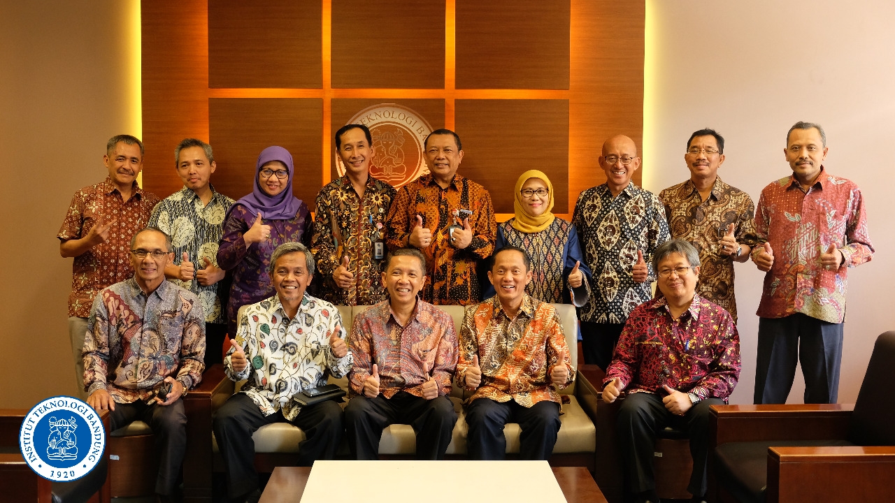
The MoU covers many cooperations, such as sharing of geospatial data and information; research and development of science and technology in geospatial information; development of network nodes and dissemination of information in geospatial information; and other activities.
Reporter: Adi Permana
.jpg)
.jpg)
.jpg)
.jpg)

.jpg)