ITB Student Will Represent Indonesia in the Biggest GIS Competition in the World
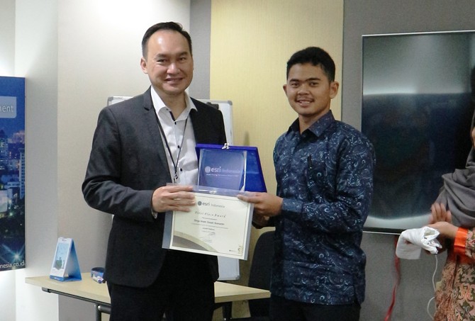
BANDUNG, itb.ac.id – Geodesy and Geomatics Study Program of ITB is delightened with its student who will represent Indonesia in an international competition titled Environmental System Research Institute User Conference (ESRI UC) in San Diego, USA. Dirga Imam Gozali Sumantri (Geodesy and Geomathics 2012) won the First Place ESRI Award 2017 and a golden ticket to compete on the biggest Geographic Information System (GIS) in the World. Dirga followed in his friend’s footstep, Tombayu A. Hidayat (Geodesy and Geomathics 2012) who became Indonesia’s delegation the year before. This year’s ESRI UC will be held on 10-14 July 2017.
ESRI is a company that engages in GIS and pioneered ArcGIS, a mapping and spatial analytic software. ESRI UC is an annual platform for world’s GIS user community to gather. Not less than 16,000 people from all over the world will attend the event to explore GIS, try new software, and build professional relation internationally.
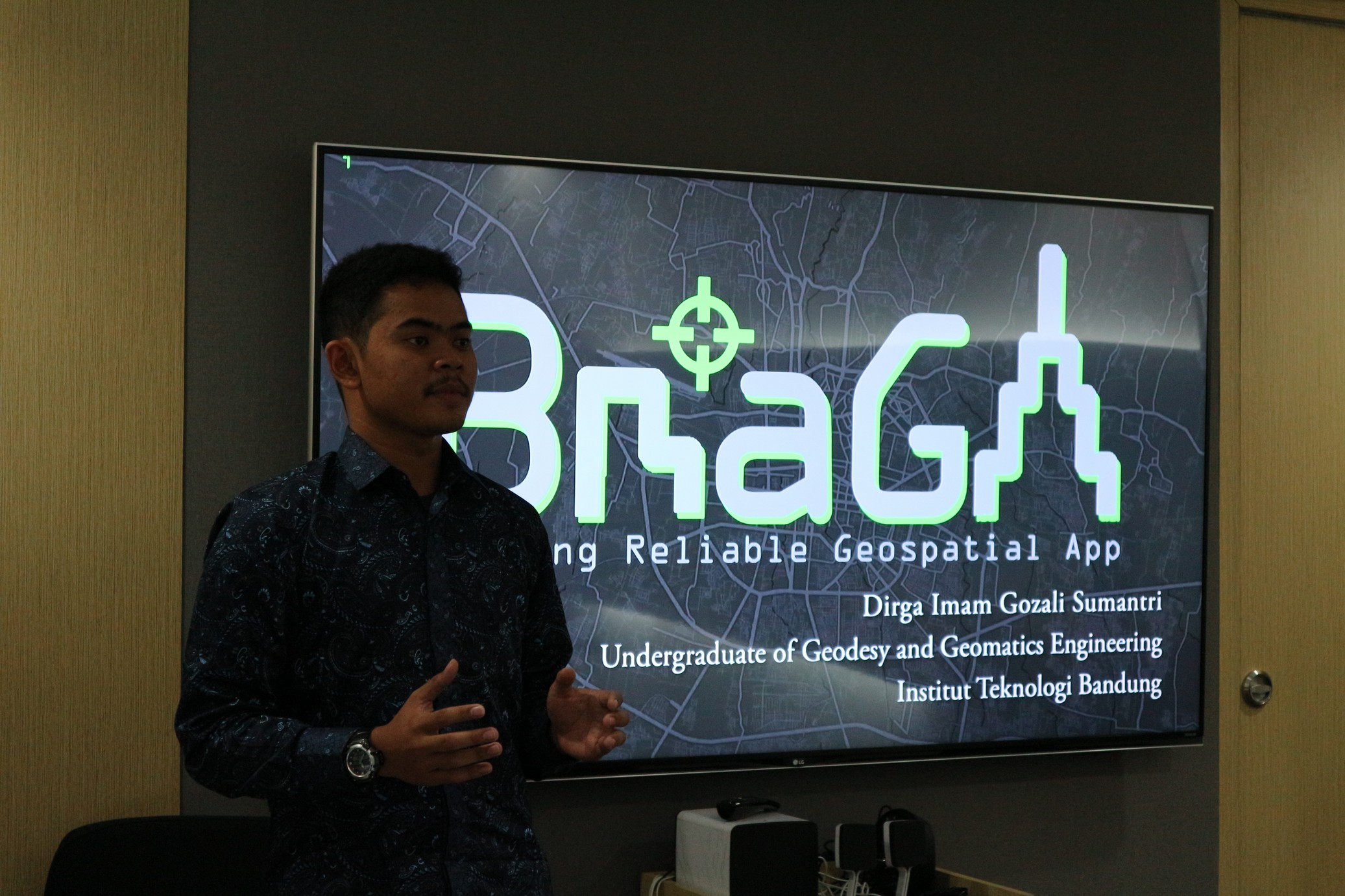
 Dirga becomes the delegation of Indonesia for his success in designing a digital app called “Braga: Bandung Reliable Geospatial App”. This app has two main features, 3D Virtual Map dan Report and Award. 3D Virtual Map contains 3D information of historical landmarks in Bandung. The feature aims to grow public’s appreciation toward historical landmarks in the city. Report and Award, on the other hand, functions as a feature where public could report any damage or misuse of public facilities to the government by using geotagging (photos with coordinates). Public will be rewarded for their reports with free usage of public facilities that utilize smart card, such as public buses, bicycle rental, or parking ticket.
“What inspires this app is my concern about the public’s poor awareness to use and maintain public facilities. It is expected that this app can educate, give awareness, and change public behavior toward the better in using and maintaining public facilities,” explained Dirga.
Dirga hopes his app could be a supportive feature to realize Bandung Smart City. In the upcoming ESRI UC, he admitted that he wants to get as many references as he can from all around the World regarding problems occurred and how spatial information could solve those problems.
“Thank you to my fellow friends who shared their experiences and to lecturers in Geodesy Program who gave positive suggestions for this app (Braga-red),” concluded Dirga.
Documentation by the interviewee
scan for download